Date:
Club:
Location:
Grid Reference:
Parking:
Whinlatter Forest Main Car Park
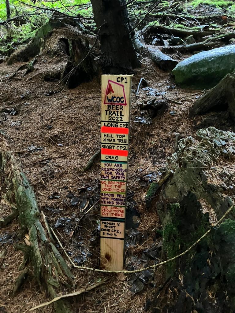
Courses:
Long: approx 15km with 800m of climb
Medium: approx 12km with 600m of climb
The medium course shares the first 4 controls with the short course, then adds an extra control.
Short: approx 9km with 400m of climb
Planner:
Other Notes:
Opens Sunday 18th December, closes end of January 2023. Usual format – go to the first checkpoint (see below) where you’ll find a stake with the next grid reference.
Carry on until you get to the (now very depleted) beer & chocolate.
This event is not an official British Orienteering event, and therefore BOF insurance does not cover you.
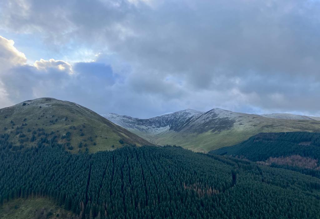
Leave plenty of daylight and carry a decent torch. All courses go into the Whinlatter Fells so go equipped for a mountain journey.
WE DON’T KNOW YOU’RE OUT THERE - YOU ARE RESPONSIBLE FOR YOUR OWN SAFETY
Maps:
This year’s Beer Trail uses some features which only appear on the orienteering map prepared by Pete Nelson. The grid references will work on a OS/Harveys map, but some of the features are not on the map (they’re obviously there on the ground though!). The full OS map should be taken as well, for emergency routes off the fell. Please download the O map below.
Download Beer Trail maps here: Part1 & Part2
The short course uses only Part 1 of the map. For medium and long download both parts.
Go to the start checkpoint (see below) where you’ll find a stake with the next grid reference.
First control (All Courses): NY 2115 2535
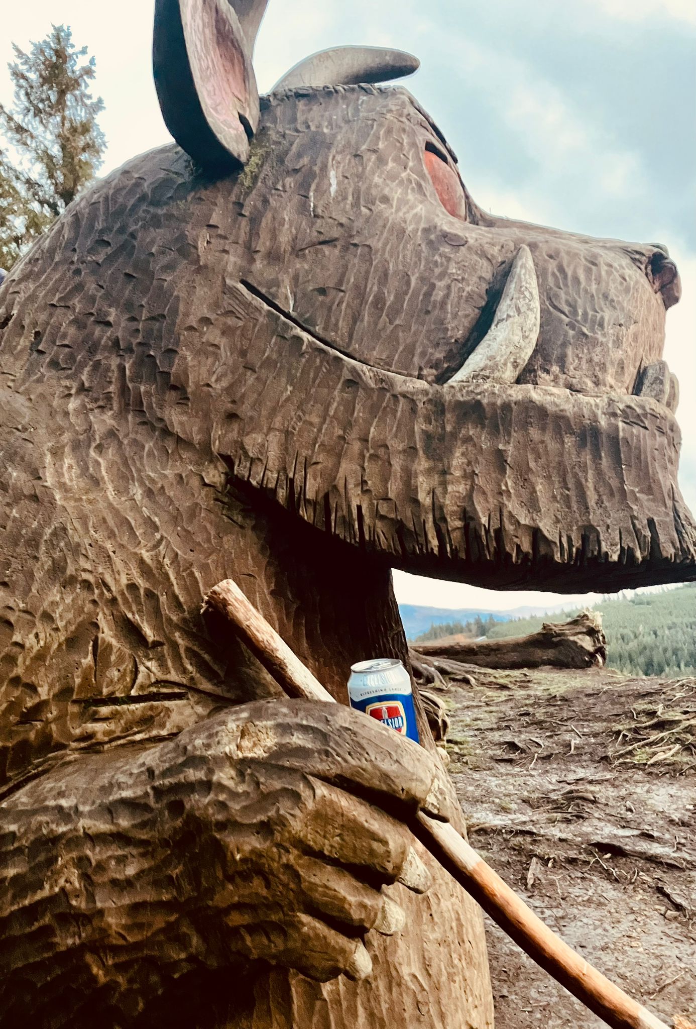
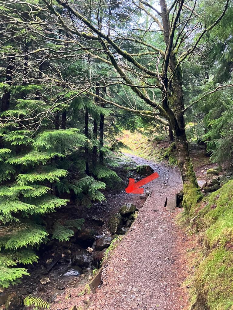
The first control is quite hard to find. It’s just off the path in a clump of fir trees; a few metres north of the stream junction, and a few metres west of the tiny footbridge.

Please leave the stash (look for two black bin bags stuffed with goodies) as you find it and take away litter. If the goodies are running low, let us know.
Note: please don’t give the game away by putting the whole of your route on Strava or similar. The location of the cache is a secret until you’ve put the effort in.
Thanks, Jamie